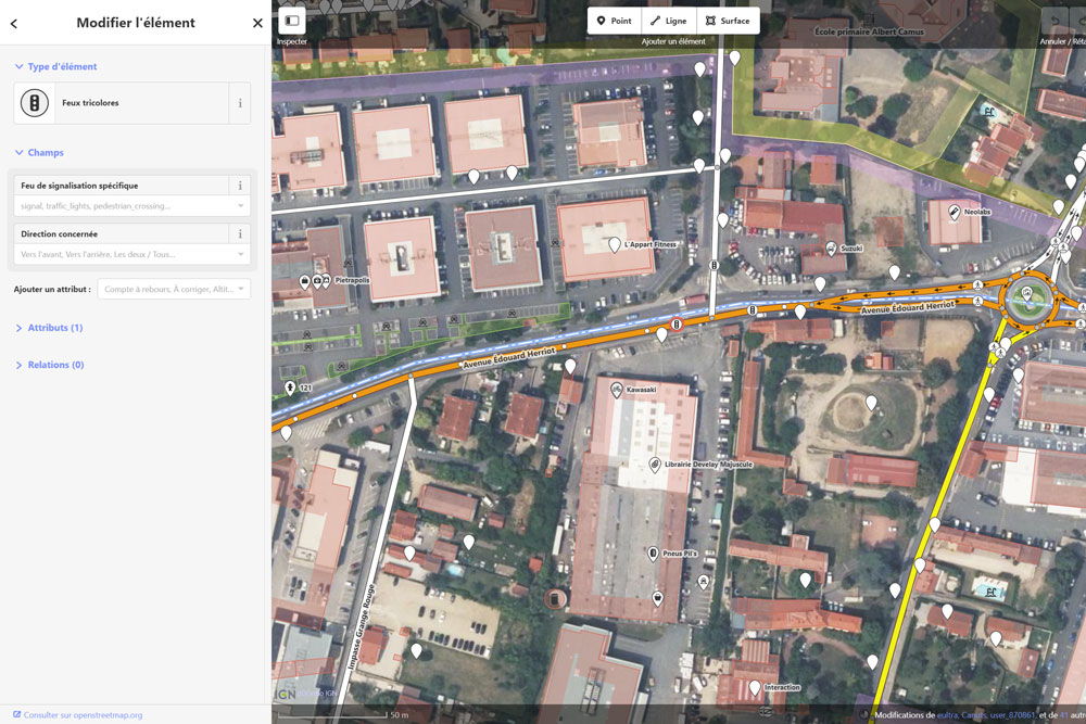
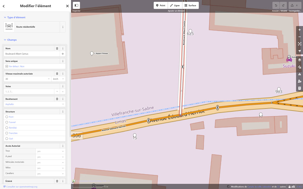
À l’exception des deux grands leaders du marché, Google Maps et Waze, la majorité des applications GPS n’ont pas de cartographie propriétaire. Elles se basent plutôt sur des cartographies open source. Ces cartes sont accessibles au public, ce qui signifie que chacun peut les consulter, les modifier et les utiliser librement. L’utilisation de ces cartes open source permet aux développeurs d’applications de proposer des solutions de navigation GPS plus flexibles et personnalisables tout en bénéficiant d’une communauté active qui contribue à l’amélioration continue des données cartographiques.
OpenStreetMap
La référence des cartographies open source
68° utilise la cartographie OpenStreetMap. Il s’agit d’un projet de cartographie en ligne et collaborative qui permet à tout le monde de créer et d’éditer des cartes du monde entier.
Contrairement à d’autres services de cartographie, OpenStreetMap est entièrement open source et gratuit, ce qui signifie que chacun peut utiliser, modifier et partager ses données cartographiques librement.
Les cartes d’OpenStreetMap sont créées par une communauté mondiale de bénévoles qui ajoutent des informations précises sur les routes, les chemins, les parcs, les bâtiments et d’autres points d’intérêt. Cela en fait une ressource précieuse pour les développeurs d’applications comme 68°.


Participez à l’amélioration de la carte
directement dans OpenStreetMap
Si le GPS 68° vous dirige par erreur dans un sens interdit, sur une route fermée, ne reconnaît pas un rond-point, etc., il ne s’agit pas d’un problème de l’application, mais d’une erreur de cartographie.
Vous pouvez facilement corriger ces erreurs vous-même en allant sur le site www.openstreetmap.org. C’est simple et amusant à faire ! En apportant vos modifications, vous aidez à améliorer les cartes OpenStreetMap et rendez service à des millions d’autres utilisateurs.