The 68° GPS is one of the most complete on the market, and it’s packed with tips and tricks… Here you’ll find everything you need to know to make the most of your trip in complete peace of mind!
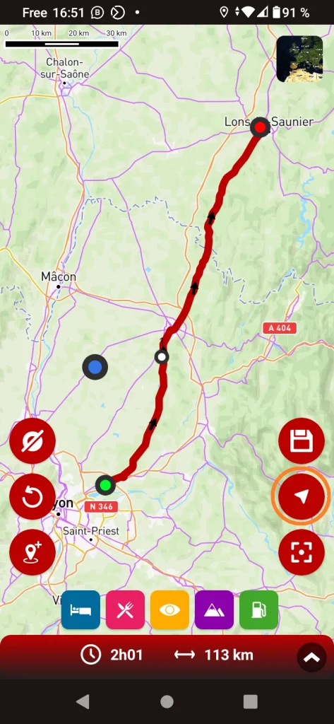
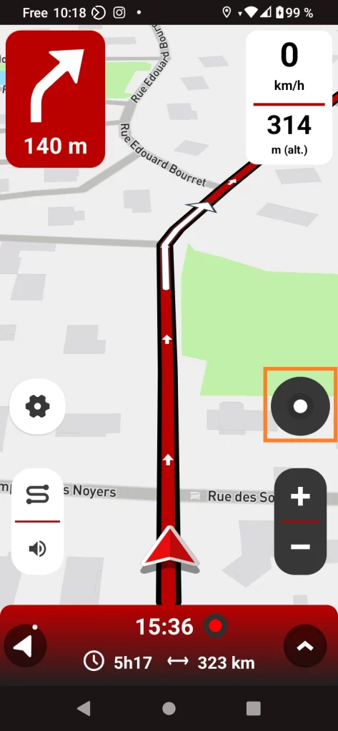
To start guidance, simply click on the corresponding icon (circled in orange).
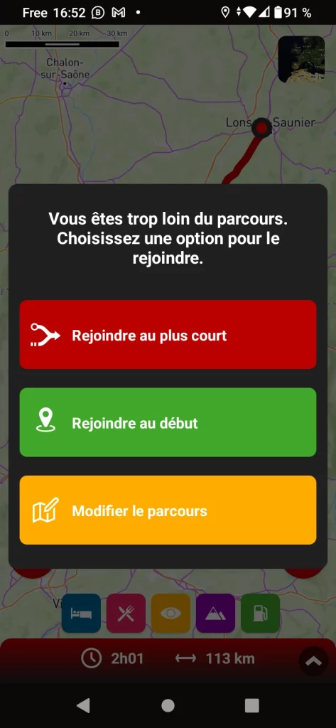
If the starting point of the route coincides with your position, guidance starts immediately. If not, you are offered 3 options, including the possibility of editing the route (see corresponding tutorials).
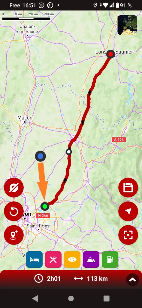
You can ask to rejoin the course at the starting point,
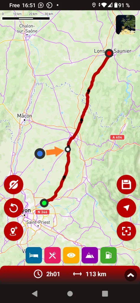
or to the point closest to your position!
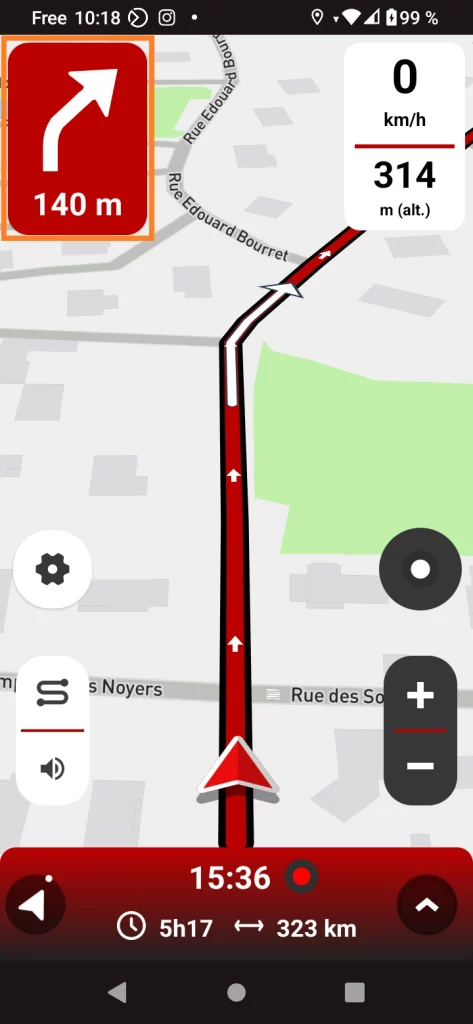
In the top left-hand corner, you’ll find the turn-by-turn instructions. Reduced to the essentials for quick and easy reading!
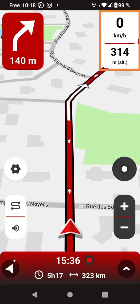
Your current speed is shown in the top right-hand corner. It is supplemented by an info of your choice, which you can select in the GPS settings (see below).
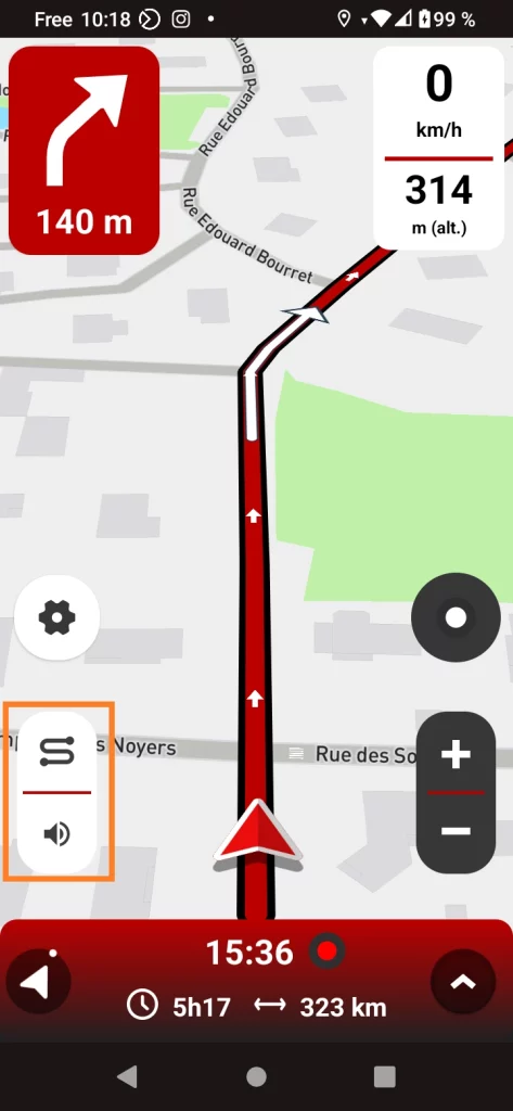
The top button lets you see the complete route to your next stop, or zoom in on your position. The bottom button lets you mute or unmute the sound at any time.
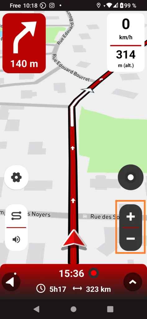
These two buttons allow you to zoom in and out.
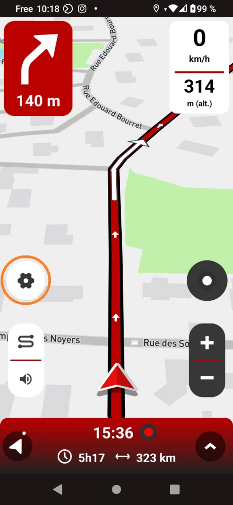
The gear allows you to access GPS setting parameters while guiding (exclusive to 68°). Please note: for safety reasons, it is only accessible when stationary.
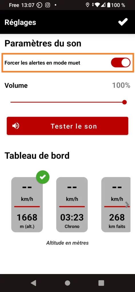
The 1st option in the settings allows you to force (or not) the main alerts. If you check this option, speed cameras, milestones and recalculations will be announced even if you’ve muted the sound!
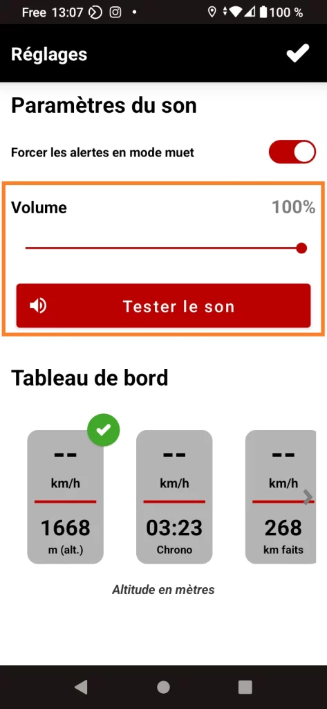
The 2nd option lets you set and test the app’s sound before setting off. A very practical option when you’re combining music, app and intercom, for example!
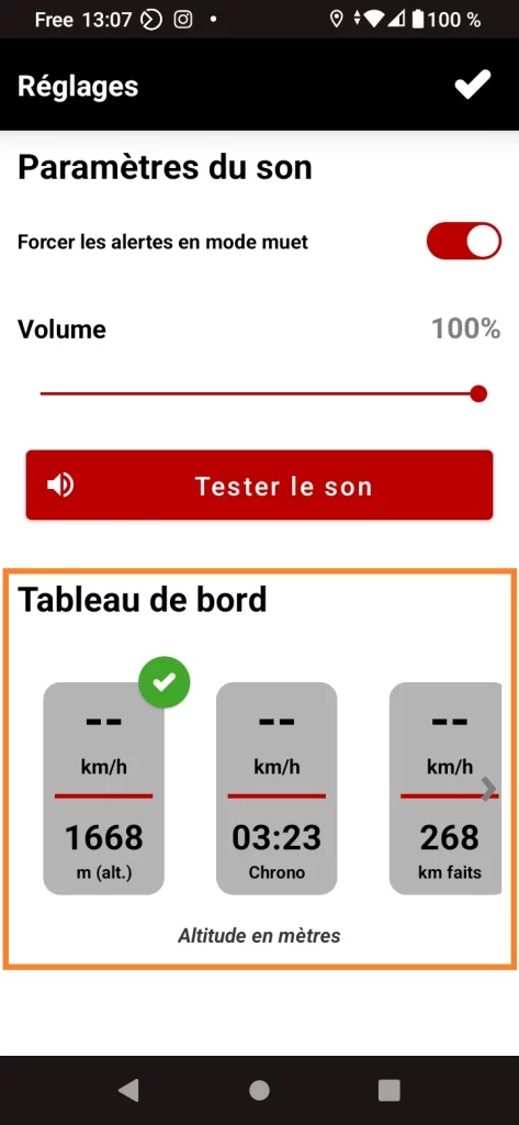
The 3rd option lets you choose what information to display below your speed: altitude, stopwatch, km remaining, etc.
This circle informs you and allows you to act on your next step at any time.
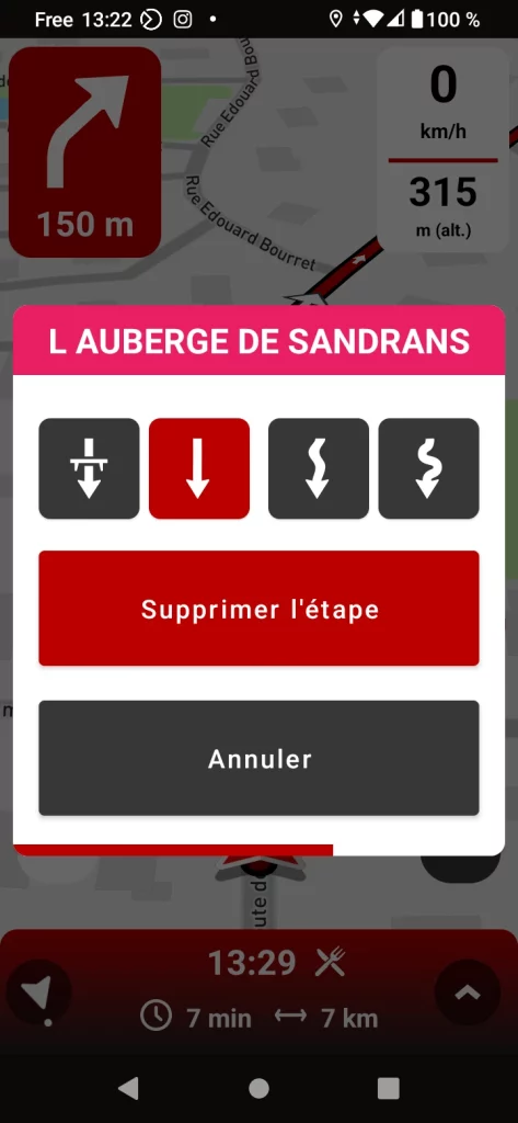
By clicking on the circle, you can delete the next stage or change the type of route to it.
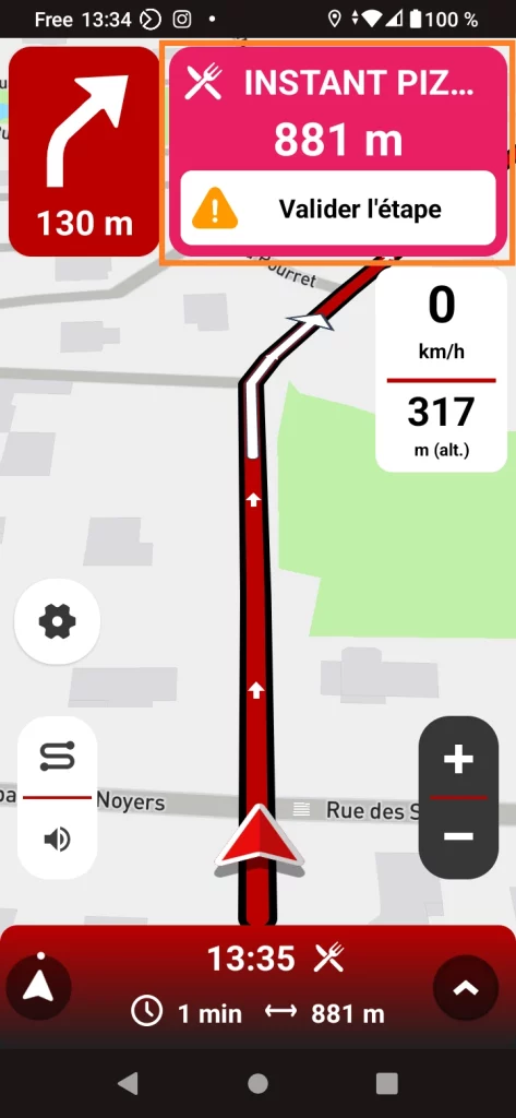
When you are approaching a stage with a stopover (place to see, accommodation, etc.), a sticker is displayed to let you know.
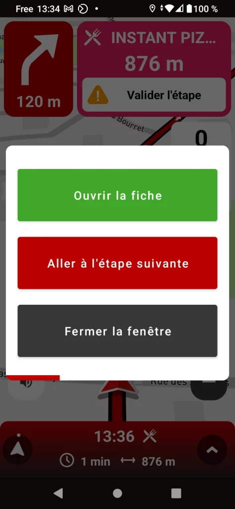
By clicking on the thumbnail, you can open the stage sheet, validate it to skip the stage and continue, or close the window to resume guiding to the current stage.
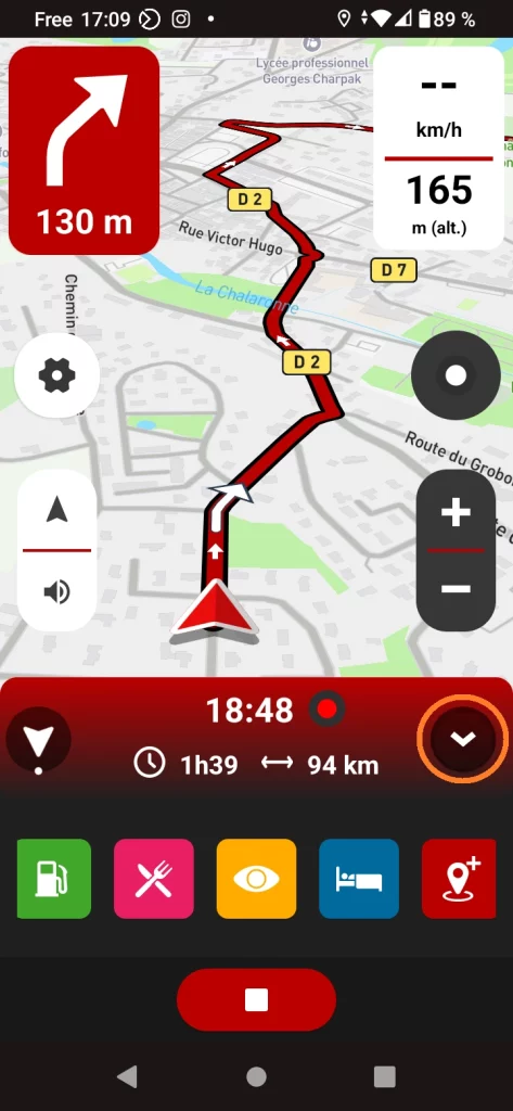
You can add points of interest (stations, places to see, accommodations, restaurants and waypoints) even during guidance.
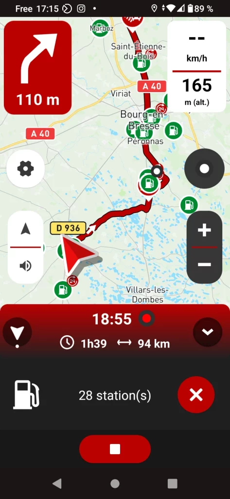
In the example above, the application displays the 28 service stations along the route.
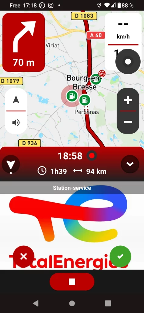
Once the station has been selected, simply validate to add it to the itinerary.
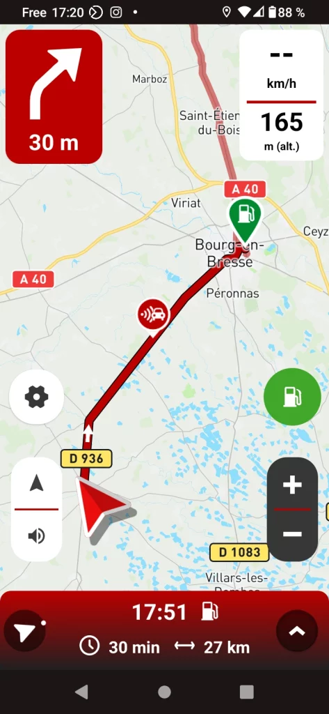
The GPS immediately recalculates the new route to take you via the location you have selected.