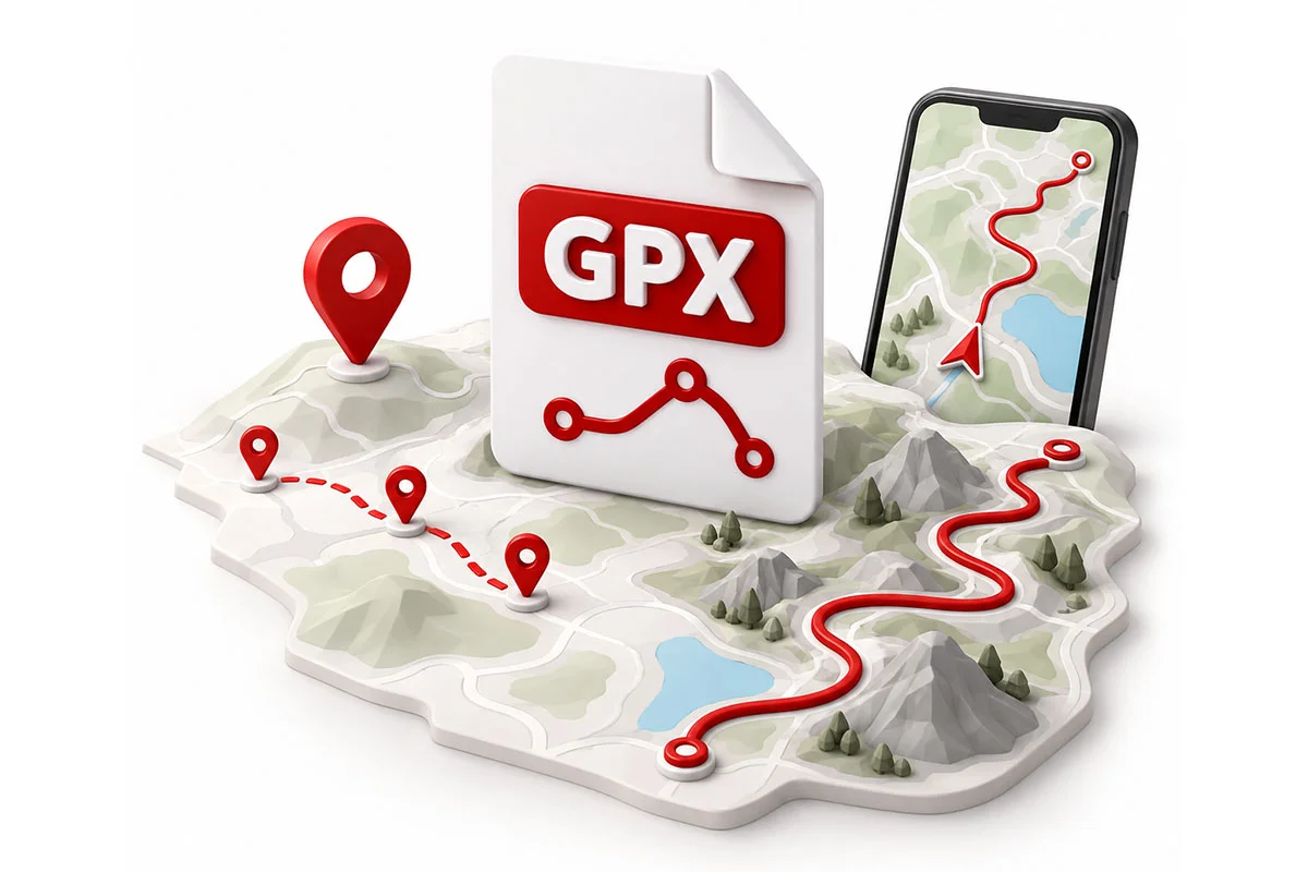
Many of you have been asking us questions about GPX files: what do they contain, how do they work, and why does importing them sometimes give unexpected results? So, we’ve put together a guide to help you understand this format, identify the causes of the most common problems, and find solutions to properly recover data from a GPX file, even when direct import doesn’t work.
What is a GPS?
Before diving into the heart of the matter, let’s take a moment to understand the system behind GPX: the GPS.
GPS stands for Global Positioning System. Contrary to what you might sometimes hear, GPS doesn’t mean “Satellite Guidance” 😊
In fact, a GPS is nothing more than a set of electronic components that picks up signals emitted by several satellites. Based on these signals, it calculates the position of the device it’s built into, whether it’s a smartphone or a navigation system for a car or motorcycle. This position is generally expressed as latitude and longitude.
It’s therefore important to understand that a GPS only answers the question: “Where am I?”
To answer the question “How do I get there?”, you need to add two other major elements: mapping and navigation software.
A complete system combines several elements: the GPS shows where you are, the mapping describes the roads, and the navigation software calculates and then lets you follow the route.
In everyday language, we often call the whole package—GPS chip, mapping, and navigation software—a “GPS.” In reality, we should use the term navigation system.

What is a GPX file?
Now let’s move on to the second acronym, the heart of this guide: GPX.
This term, which stands for GPS Exchange Format, is a “language” created in the early 2000s to allow different navigation systems to exchange data with each other, such as routes and addresses.
Back then, every navigation system used its own “language,” and that’s still often the case today. Exchanging information between devices of different brands was simply impossible. GPX was created primarily to solve this problem: to provide a common language for navigation systems, much like English allows people from different countries to understand each other.
But just like English exchanges between two non-native speakers, the GPX language doesn’t translate all the subtleties of the original language. Some information can therefore be lost, simplified, or interpreted differently when moving from one software to another via the GPX language.
In fact, we talk about the GPX format rather than the GPX language, because GPX also defines how information is organized and saved… in a file. This is also why we naturally talk about a GPX file.
With that linguistic and historical detour closed, remember this above all: a GPX file allows you to transfer information from one navigation system to another, but without guaranteeing that it will all be kept or interpreted identically.
What does a GPX file contain?
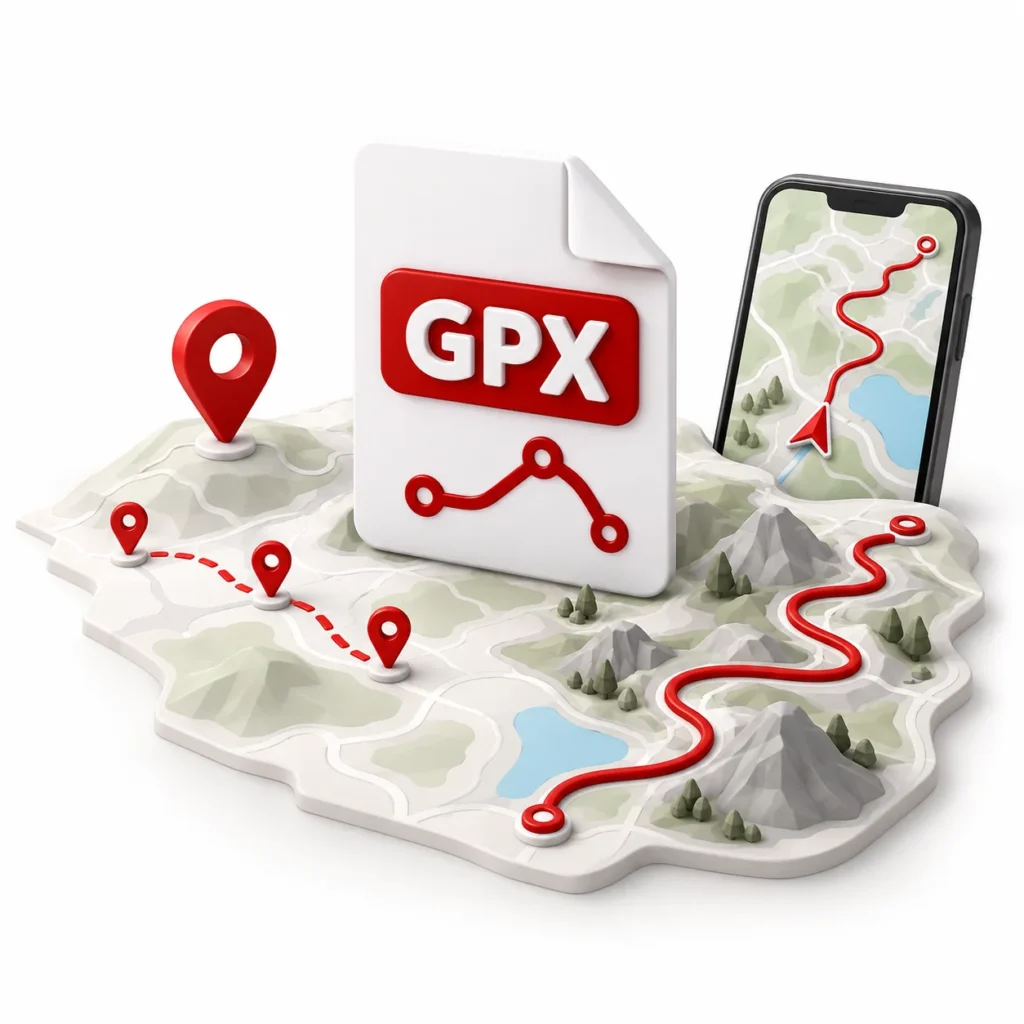
Now let’s look at what a GPX file actually contains. No secret code or formulas reserved for mathematicians: you’ll primarily find geographic points, each defined by a latitude and a longitude. So far, nothing complicated. But one detail changes everything, and it’s at the root of many disappointments when transferring a GPX file: not all these points have the same role.
WPT points:
independent locations
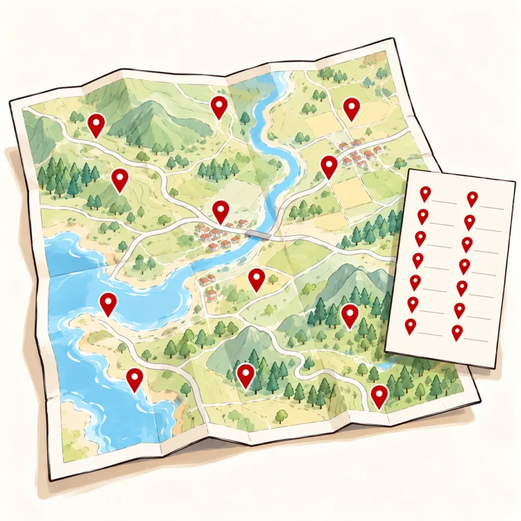
A WPT (Waypoint) point designates a location marked on a map: a hotel, a mountain pass, a restaurant, a gas station, or even a friend’s address. You can, for example, gather your favorite places in a GPX file and send it to a friend so they can find them in their navigation system. These points designate independent locations: they are not steps in a route and should not be interpreted as such.
RTE points:
steps of a free route
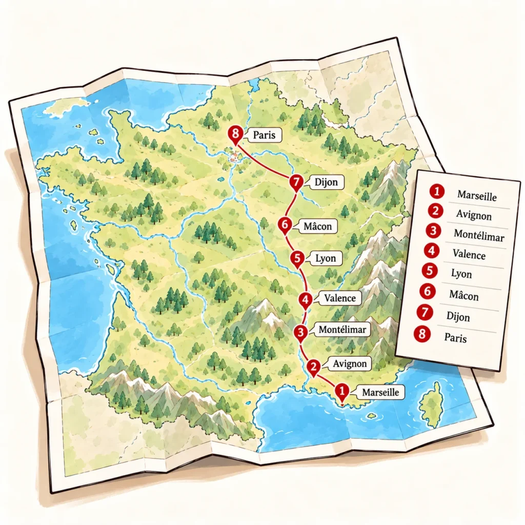
An RTE (Route) point acts as a waypoint in an ordered sequence of points that the route must pass through. These points indicate where to go, but not which roads to take to connect them. They can also be very far apart. It’s the navigation system that calculates the path between each RTE point. Since systems use different maps and calculation methods, the same GPX file can produce different routes: one might go via the highway, another via small backroads.
TRK points:
the precise drawing of a path
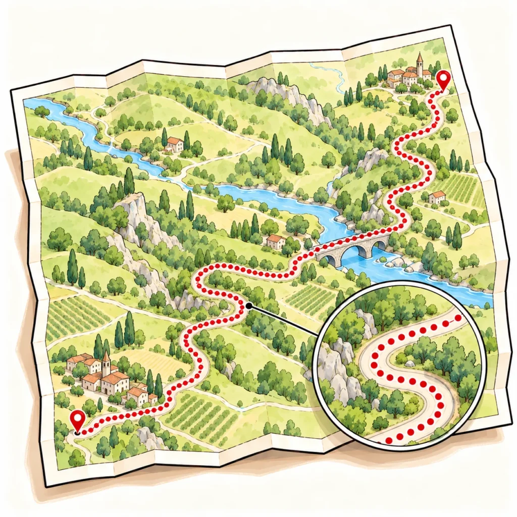
Points of the TRK (Track) type form what is called a track. Very close to each other, sometimes only a few meters apart, they draw the path right down to its curves. The navigation system thus has a precise path to follow, without being able to choose the roads between two points itself.
After these explanations, our little GPX dictionary boils down to five essential words: LATITUDE, LONGITUDE, WPT, RTE, and TRK. Only five words… but sometimes two too many for some navigation systems…
Sources of error when importing/exporting a GPX
Confusion of types
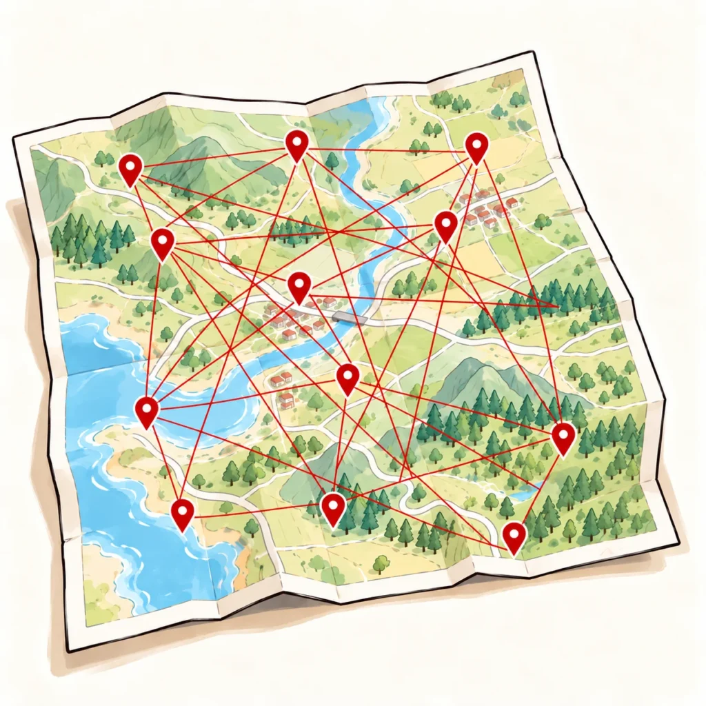
Some navigation systems struggle to distinguish between the three types of points in a GPX file. A list of places to share might then be interpreted as a series of waypoints to follow: that’s the confusion between WPT and RTE. Conversely, the thousands of points that draw a track might be treated as waypoints: that’s the confusion between TRK and RTE.
Inconsistent tracks
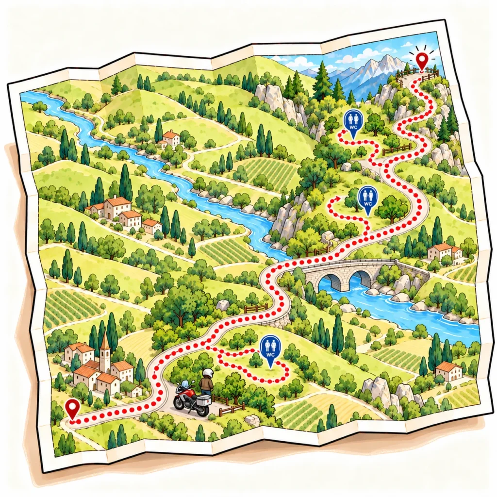
All GPX files reflect choices made at a given time: if you receive or download a file without knowing its origin, date, or how it was created, a few surprises might await you: a road closed for ten years, paths unsuitable for your motorcycle or riding style… or even the bathroom breaks in the middle of nowhere of the person who recorded their track every two hours!
Mapping differences

All navigation systems rely on different maps, sometimes even different versions of the same map: Google Maps, OpenStreetMap, Michelin, TomTom, or HERE, for example. A road considered accessible in the system that created the GPX file might be missing or marked as prohibited in the one importing it.
Staying faithful to the original path
To keep your head from spinning, we’ve limited our explanations to the three most common causes of error when importing or exporting a GPX file. However, dozens of others exist, sometimes much harder to spot. The conclusion is simple, though: in nine out of ten cases, the route obtained after importing a GPX file doesn’t exactly match the original path.
As a user, you might feel that GPX import problems are less frequent than we say. That’s because most navigation systems automatically adapt the route without clearly flagging the changes made. The discrepancies then become hard to spot, and the same file can produce very different paths depending on the system used. With others, like 68°, when a GPX cannot be imported faithfully, the system tells you and suggests another method: recreating the route manually.
The GPX file is then displayed on the map, and you rebuild your route over it. This way, you see exactly where the new calculation deviates from the original path and you choose the roads to follow yourself.
This method has the advantage of always working: you choose the roads to follow yourself and keep total control of your route. It’s often faster than an automatic import that then needs to be checked and corrected. And, let’s face it, preparing your path on a map can also be fun. Even in the age of AI, humans are still better at certain choices. And that’s a good thing.

The headache of physical GPS units
Unlike navigation apps and route creation/sharing platforms, which are regularly updated, physical GPS units (TomTom, Garmin, or systems built into motorcycles) generally evolve more slowly. They can therefore have more difficulty faithfully reproducing a route created on another platform.
On the TomTom side, the new online platform https://plan.tomtom.com/ allows you to import GPX files and sync tracks with the latest generation devices. In our experience, this is currently an effective solution for finding a path close to the original on a recent TomTom GPS.
On the Garmin side, the brand offers BaseCamp: software that isn’t very user-friendly but is incredibly effective for working on a GPX route. The only downside: its future is uncertain. The last versions recorded by Garmin date back to 2023, even though the brand still offers the software for download and explains how to update it.
The most complicated case is often GPS units built into motorcycles. Depending on the manufacturer, model, and year, faithfully importing a route can become a real obstacle course. And when a problem arises, it’s hard to expect a salesperson or mechanic to master all the subtleties of GPX files: everyone has their own job. So we’re not blaming them, but the result remains the same for the rider just trying to find their path.
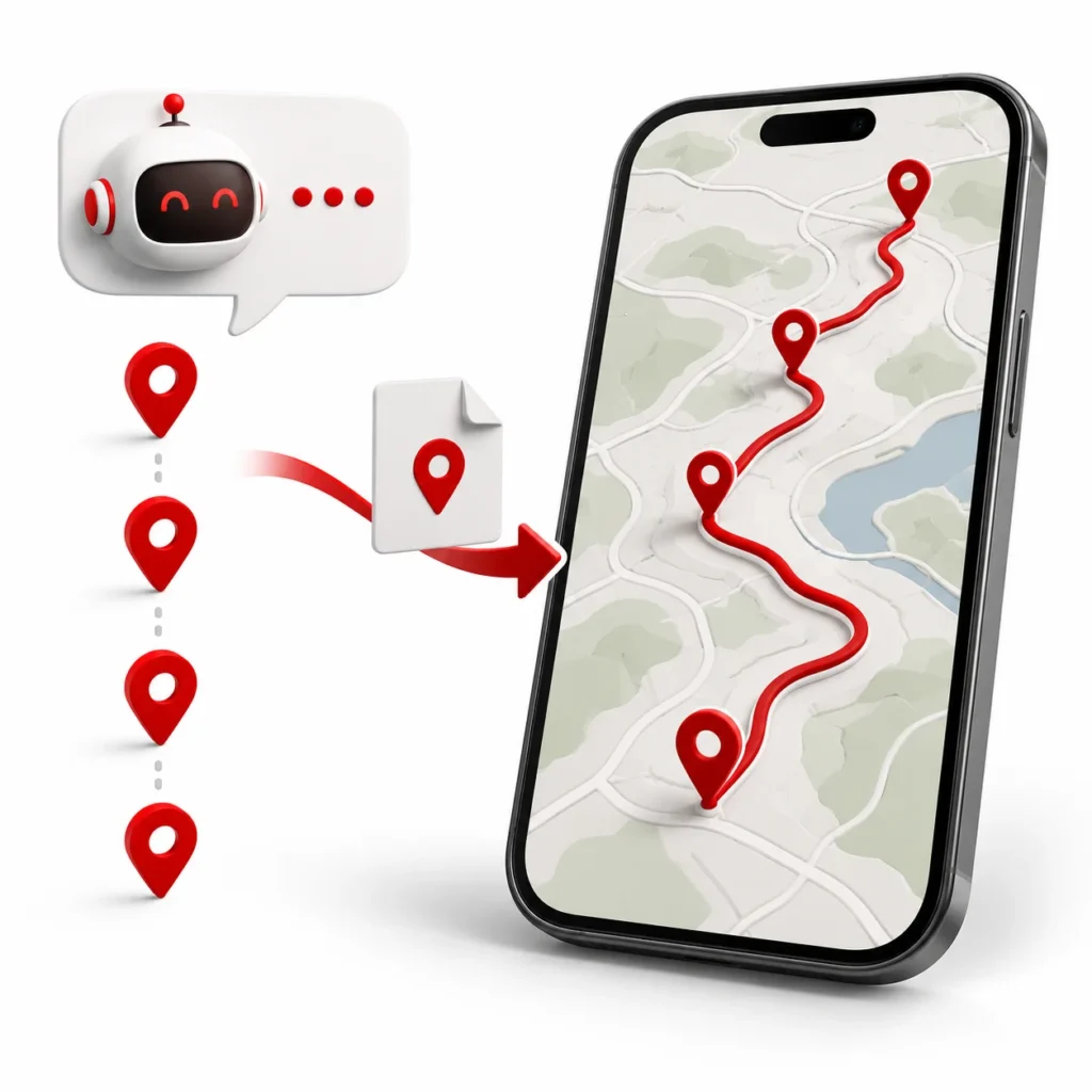
This is where AI can help you. If you don’t have a recent TomTom or a Garmin, don’t panic! Send your GPX file to an AI, like ChatGPT or Claude, specifying the make, model, and year of your GPS or, if navigation is built-in, your motorcycle. Ask it to adapt the file to the format accepted by your device or to tell you which settings to choose during export.

Generating GPX with AI
Speaking of AI, we’re seeing more and more of you asking ChatGPT, Claude, Gemini, or Mistral to create your routes. And more and more of you are also being disappointed once you get the result. The reason is simple: AI doesn’t yet have the necessary mapping data. It can certainly suggest a list of waypoints, but it can’t build the route that connects them.
Furthermore, these AIs often make the same mistake: they export waypoints as a track (TRK), which makes the GPX file unusable for importing properly into a navigation system.
To get around this problem, ask the AI to export a route type GPX file, not a track type. You can then import the waypoints, and your navigation system will build the route between them.
But let’s be clear: the calculated path may vary from one system to another. What the AI provides you isn’t a route, but simply a list of waypoints to connect. 😊